
IMPC Investigator Predicting River Ice Jams, The "Black-Box" of Flood Forecasting
Dr. Lindenschmidt is collaborating with Manitoba Infrastructure to forecast Ice-Jams along the Red River using his methodology for RIVICE Modelling
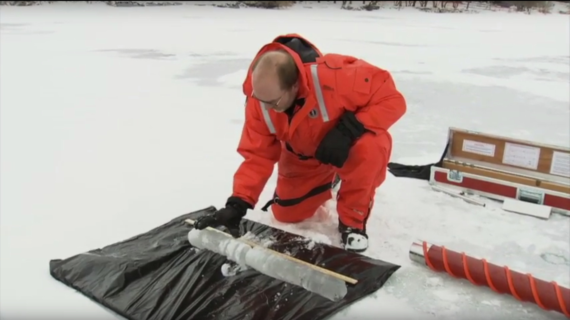
By Laila Balkhi, Stephanie Merrill (ed)Photo: Ice accumulation and jamming in Winnipeg, Manitoba [by Dr. Karl-Erich Lindenschmidt]
When we hear about a river flood, we might normally assume there’s been a heavy downpour or warm spring temperatures causing rapid snowmelt. Ice-jams are, however, a significant contributor to flooding. In North America, ice-jam flooding is estimated to have caused economic costs of USD $300 million per year (in 2017 value) [i]. Manitoba’s 2009 Red River flood, one of the five worst floods in Canadian history, was caused by ice-jamming [ii], forcing water to back up and flow over the banks of the river. This flood event caused approximately CAD $38.5 million in direct financial losses [iii] and damaged 250 homes [iv]. Severe ice-jamming was also a significant factor in the Red River floods of 2004 and 2007 [v].
These losses have occurred despite successful management measures implemented after the dramatic 1997 floods that prevented more than $10 billion in potential damages [vi]. Manitoba Infrastructure is concerned about rising frequency and impact of ice-jam induced floods, seeking better ways to predict when and where they will occur, including an ice-cutting program on the lower Red River. Better prediction of river ice and jamming potential would enable them to more efficiently make decisions on the effectiveness of the costly ice-cutting program.
Dr. Karl-Erich Lindenschmidt has been studying river ice for more than a decade, beginning as a hydrological research engineer in the Surface Water Management Section at Manitoba Water Stewardship. Now an Associate Professor at the University of Saskatchewan’s Global Institute for Water Security, Dr. Lindenschmidt is investigating river-ice processes as part of the Global Water Futures funded project Integrated Modelling Program for Canada (IMPC).
Predicting exactly when the ice will break up and cause flooding along a river is a sophisticated task due to the “chaotic nature of ice-jam formation”, says Dr. Lindenschmidt. He explains that different conditions lead to different processes of ice formation in a river, and the distinct types of ice cover formed, in turn, will have different mechanical properties that lead to differences in ice-jamming and subsequent flooding events.
He has successfully introduced a methodology for RIVICE modelling that mimics the chaotic nature of ice-jam formation to predict possible jamming and potential flooding. This modelling method has been refined and applied to river systems across Canada, including the Athabasca River at Fort McMurray, Alberta, Exploits River in Newfoundland and Labrador, and the Churchill River in Labrador. Now, Manitoba Infrastructure is planning to operationalize this modelling tool within their ice mitigation program, hoping to protect citizens’ safety and homes and save millions of dollars in the process.
Dr. Bin Luo, a senior hydrologic engineer at Manitoba Infrastructure is a collaborator with Dr. Lindenschmidt. Together they have worked to apply the stochastic modelling framework on the lower Red River. Dr. Luo has compared mid-winter ice-jam prediction to a “black-box” before this methodology for RIVICE model was introduced. “A lot of our prediction was just informed by knowledge-based methods, and we need a tool that even junior engineers can use”, he says.
“They’ve used empirical methods to determine peak flows, and then from those flows, they back-calculated what the water levels would be. Capability for forecasting ice-cover formation is something new for Manitoba”, adds Dr. Lindenschmidt.
Empirical and statistical approaches to understanding ice formation are also river- and site-specific and do not take the river’s physical processes into account [i]. This means that the same methods cannot be applied to any or all rivers and results still have relatively low ability to predict reality. The RIVICE model addresses some of these problems by first using a deterministic appraoch to generate outcomes based on various conditions and physical processes. The outcomes produced from the model are then put into stochastic simulation methods that take randomness into account to generate probabilities of various flood levels.
This modelling methodology enables Manitoba Infrastructure to simulate ice-jams along the Red River in the short-term using real-time data, and make long-term predictions using a range of historical data. The modelling tool helps create order in a seemingly unpredictable river.
“We’re testing the model to help us make ice-mitigation decisions. We’ve been cutting ice every year, but the new modelling tool may help us decide when we don’t have to cut. That’ll save us a million dollars,” says Dr. Luo.
These modelling developments are also applicable to other water management scenarios, including floodway and reservoir operations. “If an ice cover is still present in Winnipeg while spring runoff is occurring, the Floodway may need to be operated in a way to avoid increased discharge along the Red River from entering the city,” explains Lindenschmidt. He also indicated that by using this modelling approach, reservoirs in other river systems, such as the Shellmouth Reservoir on the Assiniboine River or Lake Diefenbaker on the South Saskatchewan River, can be operated for flood control. For example, flood prediction can inform direct management actions such as drawing down the water level so that some of the flood waters can be contained within the extra storage capacity provided by the drawdown.
Dr. Lindenschmidt sees this work as critical for managing waterways plagued by ice-jam flooding here in Canada and around the world. He is working with new collaborators to apply the RIVICE model to two more transboundary rivers, the St. John River between Maine and New Brunswick, and the Oder River between Germany and Poland.
He’s also providing this methodology and advice to water practitioners anywhere though his recently published book that includes a step-by-step guide to operationalize the RIVICE model. River Ice Processes and Ice Flood Forecasting: A Guide for Practitioners uses examples, exercises and sample downloadable practice data from the Dauphine and Red Rivers in Manitoba. The book is being used by water resource engineers at Manitoba Infrastructure as a guide to implementing this model and training the next generation of their operators.
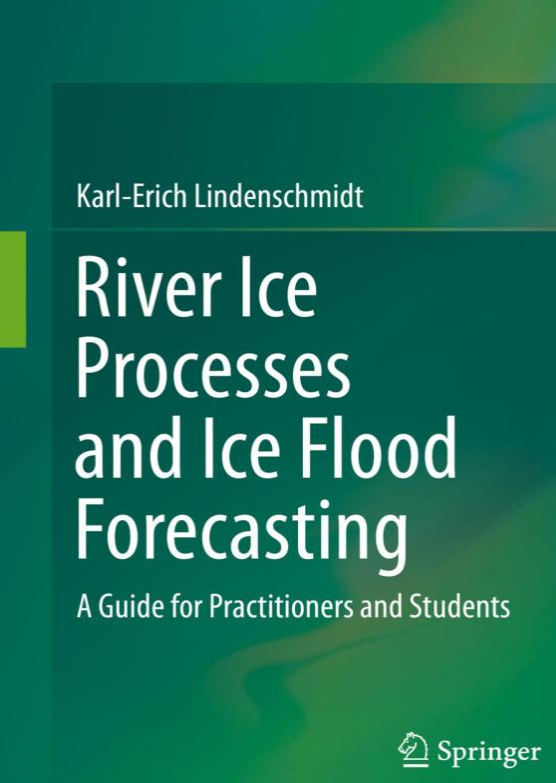
Dr. Lindenschmidt's book, River Ice Processes and Ice Flood Forecasting: A Guide for Practitioners and Students. Get this book on Springer. [Image Source: Springer]
Drs. Lindenschmidt and Lou hope that by working together as model developer and model operator, they can improve estimates of ice-jam flood probabilities that can feed into planning, infrastructure development and flood-control mitigation programs, and ultimately reduce the risk of future floods as devastating as those in the recent past.
The Integrated Modelling Program for Canada (IMPC) is a transdisciplinary research program bringing together scientists and stakeholders from six Canadian universities, twelve government agencies and more than ten end-user communities. This team provides a unique expertise that integrates atmospheric science, hydrology and ecology with social science, computer science, economics, and water resource engineering. Follow this link to explore more.
To learn more about Dr. Karl-Erich Lindenschmidt’s work, please visit his webpage.
For more about Manitoba Infrastructure’s water management, visit Water Management Planning and Standards and Hydrological Forecast Centre’s webpages.
[i] French, H. M. (2017). The periglacial environment. John Wiley & Sons; as cited in Rokaya, P., Budhathoki, S. & Lindenschmidt, K. (2018). Trends in the Timing and Magnitude of Ice-Jam Floods in Canada. Scientific Reports (8), 5834. doi:10.1038/s41598-018-24057-z
[ii] Mortillaro, N. (2014). “5 of the worst floods in Canadian history” | Global News. https://globalnews.ca/news/1438743/the-5-worst-floods-in-canadian-history/
[iii] Converted from USD estimate from Rokaya, P., Budhathoki, S. & Lindenschmidt, K. (2018). Trends in the Timing and Magnitude of Ice-Jam Floods in Canada. Scientific Reports (8), 5834. doi:10.1038/s41598-018-24057-z
[iv] Government of Manitoba. (n.d.). History of Flooding in Manitoba | Manitoba Flood Facts. https://www.gov.mb.ca/flooding/history/index.html
[v] Lindenschmidt. K., Sydor, M., Carson, R., & Harrison, R. (2011). Ice jam modelling of the Red River in Winnipeg. CGU HS Committee on River Ice Processes and the Environment. 16th Workshop on River Ice. Winnipeg, Manitoba.
[vi] Government of Manitoba. (2009). Manitoba 2009 Spring Flood Report. http://content.gov.mb.ca/mit/wm/2009_spring_report.pdf