
USask GWF researcher uses Fort McMurray model to develop ice-jam flood mitigation assessment process
The city of Fort McMurray, Alta., which has a lengthy history of flooding, is among communities adjacent to northern rivers across Canada that regularly confront the expensive problem caused by ice jams during spring ice breakup, or even at freeze-up or mid-winter breakup.
Now, University of Saskatchewan (USask) researchers have developed a novel methodological approach to help flood managers assess the feasibility of three ways to mitigate ice-jam flooding—dredging river sediment at jam-prone sites, artificially breaking up ice using amphibious excavators (Amphibex), and building dikes.
Their findings, based on a sophisticated computer modelling framework of Fort McMurray that evaluated how multiple fluctuating factors such as water flow, ice thickness and backwater levels affected ice jams and flooding, were published Jan. 18 in the Journal of Flood Risk Management.
While modelling involved the Alberta community downstream from the confluence of the Athabasca and Clearwater rivers, lead USask researcher Karl-Erich Lindenschmidt said the principles apply to ice-jam floods everywhere, from the Red River in Manitoba to the Churchill River in Labrador to the Saint John River in New Brunswick.
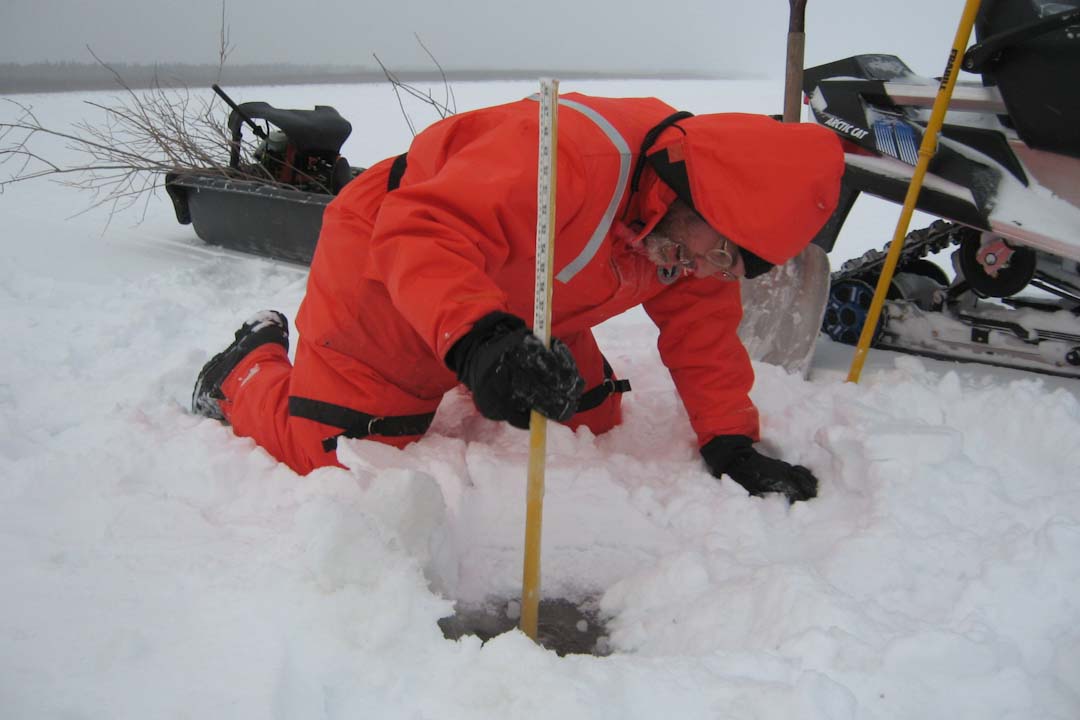
“I developed the first real-time method for ice-jam flood forecasting, which is a lot more difficult than just open-water flooding,” said Lindenschmidt, an associate professor at USask’s School of Environment and Sustainability and the Global Institute for Water Security (GIWS), who has published a book about the intricacies involved.
“Our study differentiates between flood hazard—which refers to such things as velocity, depth and extent of flooding—and flood risk, which incorporates vulnerabilities such as infrastructure, buildings and contents,” he said.
“Such a comprehensive risk analysis is much more complex, but it gives you the information needed to assess the expense of a mitigation measure versus ice-jam flood-damage costs. Very often people take it just to the flood hazard level,” he said.
The Alberta study used hundreds of ice-jam flood hazard maps based on simulated ice-jam water levels to determine flood risk. Flood damage potential was evaluated based on such things as building types and sizes (commercial or residential) and estimated flood depths. The simulated results aligned closely with what occurred in a 1977 ice-jam flood along the Athabasca River.
Based on the three mitigation measures studied, the Amphibex breakup of ice, which shifts jams downstream from Fort McMurray, has the highest potential to reduce annual flood damage, significantly reducing the number of buildings exposed to flood risk.
A dike system at an elevation of 250 metres above sea level along the Clearwater River also has major potential to reduce flood damage, even though ice jams overtopping the dike in extreme events increases the number of buildings at risk. And while dredging the river to certain depths at jam sites could reduce flooding damage, more study needs to be done to fully understand the flooding risk, the paper noted.
“The problem is that you run the risk of dredging too deep. When that happens, your flow velocity is reduced quite substantially, allowing ice to accumulate because it doesn’t have the momentum to push through. That would actually promote ice-jam flooding,” said Lindenschmidt.
The methodology and the interactive maps of flood hazard and associated risk developed for this study could be applied to designing and exploring a comprehensive flood protection system for any ice‐jam-prone location in Canada, he said.
Lindenschmidt is part of a modelling team with the USask-led Global Water Futures (GWF) program which aims to protect and inform communities of the risks associated with seasonal flooding.
As part of USask’s mandate to extend methodologies and explore new avenues to apply research, Lindenschmidt also is studying “javes” (short for ice-jam release waves). Javes happen along waterways such as the South Saskatchewan and Saskatchewan rivers when an upstream ice-jam breaks, much like a dam breach, and releases a surge of ice and water. This surge can hit and accumulate at a downstream jam, exacerbating and causing additional flooding concerns.
USask researcher Apurba Das was first author of the paper. Funding for the study came from the Natural Sciences and Engineering Research Council of Canada, GIWS, GWF and USask.
Article re-posted on .
View original article.